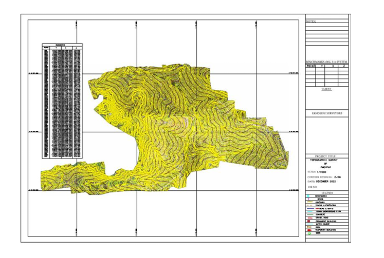
Airborne Lider Surveys are an advanced method of conducting aerial surveys using Light Detection and Ranging (LiDAR) technology. This technique involves mounting LiDAR sensors on airborne platforms such as drones, helicopters, or airplanes to collect highly accurate topographic data over large areas efficiently.
What is LiDAR?
LiDAR stands for Light Detection and Ranging, a remote sensing technology that measures distances by illuminating a target with laser light and analyzing the reflected pulses. This technology generates precise, three-dimensional information about the shape of the Earth and its surface characteristics.
Advantages of Airborne LiDAR Surveys
Airborne LiDAR surveys offer several benefits compared to traditional survey methods:
- High Accuracy and Resolution: LiDAR sensors capture detailed elevation data with centimeter-level accuracy.
- Rapid Data Collection: Large areas can be surveyed quickly, reducing the time and cost involved.
- Vegetation Penetration: LiDAR can penetrate through forest canopies, providing data on ground surfaces beneath trees.
- Versatility: Suitable for a wide range of applications, including topographic mapping, forestry, infrastructure development, and flood modeling.
Applications of Airborne LiDAR Surveys
Airborne LiDAR is widely used in various industries, such as:
- Environmental Monitoring: Assessing terrain changes, mapping habitats, and monitoring coastal erosion.
- Urban Planning: Creating detailed city models for infrastructure planning and development.
- Agriculture: Analyzing crop health and planning irrigation systems.
- Disaster Management: Providing critical data for flood risk assessment and landslide detection.
How Airborne LiDAR Surveys Work
The process begins with planning the flight path over the survey area. During the flight, the LiDAR sensor emits laser pulses towards the ground. These pulses reflect back to the sensor, allowing it to measure the distance to the surface. The data is then processed to generate high-resolution, three-dimensional maps and models.
Conclusion
Airborne LiDAR surveys represent a powerful tool for accurate and efficient data collection across diverse applications. Their ability to gather detailed topographic information rapidly makes them invaluable for environmental studies, urban development, and many other fields. Utilizing this technology can significantly enhance the quality and speed of survey projects.


