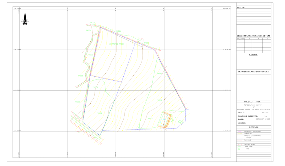
Cadastral surveys are specialized surveys that determine and define land boundaries. They play a crucial role in land ownership, property disputes, and legal documentation.
Purpose of Cadastral Surveys
The primary purpose of cadastral surveys is to establish the exact boundaries of a parcel of land. These surveys help in creating official records for land ownership and are essential for land registration and real estate transactions.
Process of Cadastral Surveying
The process involves the measurement and mapping of land parcels using precise instruments and techniques. Surveyors collect data on boundary lines, landmarks, and physical features to produce accurate land maps.
Importance of Cadastral Surveys
Cadastral surveys ensure clear demarcation of property lines, which helps prevent disputes between landowners. They also assist governments in land administration, taxation, and urban planning.
Applications
- Property ownership verification
- Land subdivision and development
- Legal documentation and dispute resolution
- Urban and rural planning


