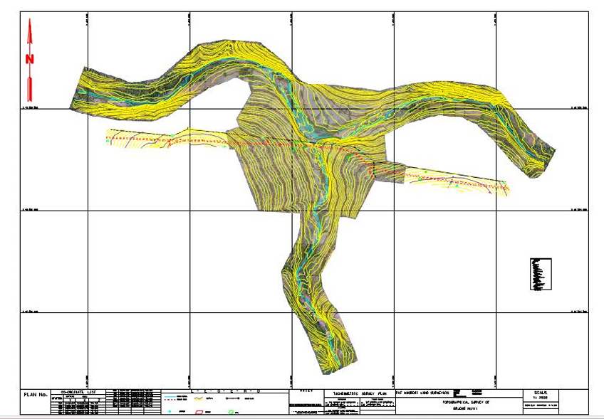
Our Bathymetric Survey service provides detailed mapping and analysis of underwater terrain and features. Utilizing advanced sonar and GPS technologies, we accurately measure water depths and create detailed underwater topographic maps. These surveys are essential for navigation safety, marine construction, dredging operations, and environmental monitoring.
Why Choose Our Bathymetric Survey?
- High-precision depth measurement with state-of-the-art equipment
- Comprehensive data collection for accurate underwater mapping
- Experienced surveyors ensuring reliable and timely results
- Customized reporting tailored to client needs
- Support for various applications including ports, harbors, rivers, and offshore projects
Applications of Bathymetric Surveys
- Marine navigation and charting
- Coastal engineering and construction
- Dredging and sediment management
- Environmental impact assessments
- Underwater infrastructure inspection


