Engineering surveys are a crucial part of the planning, design, and construction process in various engineering projects. These surveys provide accurate data and measurements that help engineers make informed decisions and ensure the successful completion of projects.
Types of Engineering Surveys
1. Topographic Survey
A topographic survey involves mapping the natural and man-made features of a land area. It includes details such as elevations, contours, trees, buildings, roads, and other physical features. This type of survey is essential for site planning and design.
2. Boundary Survey
Boundary surveys establish the legal property lines and corners of a parcel of land. This survey is vital for land ownership disputes, property development, and construction projects to ensure that structures are built within legal boundaries.
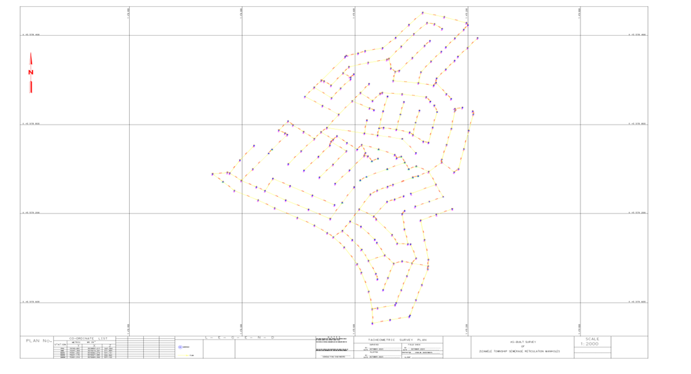
3. Construction Survey
Construction surveys provide layout and position information for construction projects. They guide the construction team by marking the locations of structures, roads, utilities, and other project elements based on engineering plans.
4. Geotechnical Survey
Geotechnical surveys assess the soil, rock, and subsurface conditions of a site. These surveys help determine the bearing capacity and stability of the ground, which influences foundation design and construction methods.
5. Hydrographic Survey
Hydrographic surveys map underwater features such as riverbeds, lake bottoms, and coastal areas. These surveys are essential for marine construction, dredging, and navigation safety.
Importance of Engineering Surveys
Accurate engineering surveys are fundamental to the success of any engineering project. They ensure:
- Precise data collection for design and planning
- Legal compliance with property boundaries
- Efficient resource allocation and cost control
- Risk mitigation by identifying potential site challenges
- Quality control during construction phases
Surveying Techniques and Instruments
Modern engineering surveys utilize advanced technologies and equipment, including:
- Total Stations for precise angle and distance measurements
- Global Positioning Systems (GPS) for accurate location data
- Laser Scanners for detailed 3D mapping
- Drones for aerial surveys and data collection
- Geographic Information Systems (GIS) for data analysis and visualization
Conclusion
Engineering surveys are indispensable in delivering successful engineering projects. They provide the foundational data that supports design accuracy, legal compliance, and construction efficiency. Employing skilled surveyors and advanced technology ensures high-quality survey results, ultimately contributing to the safety and longevity of engineering works.