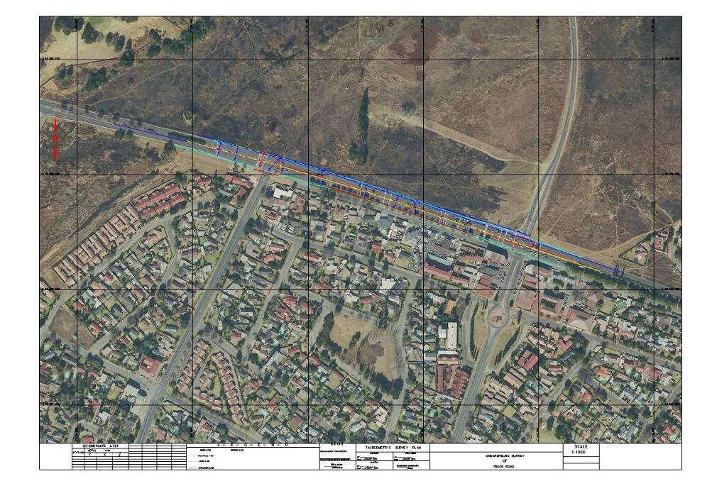
Our Ground Penetrating Radar (GPR) Survey services provide a non-invasive, efficient, and accurate method for detecting and mapping underground utilities and structures. Using advanced radar technology, we deliver critical subsurface information without the need for excavation.
What is GPR Survey?
Ground Penetrating Radar (GPR) is a geophysical method that uses radar pulses to image the subsurface. It is widely used to locate underground utilities such as pipes, cables, and voids, as well as to assess soil conditions, detect buried objects, and evaluate structural integrity.
Our GPR Survey Capabilities
- Detection and mapping of underground utilities including water pipes, gas lines, electrical cables, and communication conduits
- Locating voids, sinkholes, and other subsurface anomalies
- Assessment of concrete structures for rebar placement, voids, and thickness measurements
- Environmental site assessments and contamination mapping
- Pre-construction and site investigation surveys
Why Choose Our GPR Survey Services?
- Non-Destructive Testing: Obtain accurate subsurface data without any digging or damage to the surface.
- High Accuracy: Advanced equipment and experienced operators ensure precise location and depth information.
- Time and Cost Efficient: Rapid data collection reduces project timelines and excavation costs.
- Comprehensive Reporting: Detailed reports with maps and interpretations to support your decision-making process.
Applications of GPR Survey
Our GPR surveys are essential in various industries including construction, civil engineering, utilities maintenance, environmental studies, and archaeological investigations.
Contact Us
For reliable and professional GPR Survey services, contact us today to discuss your project requirements and schedule a consultation.


