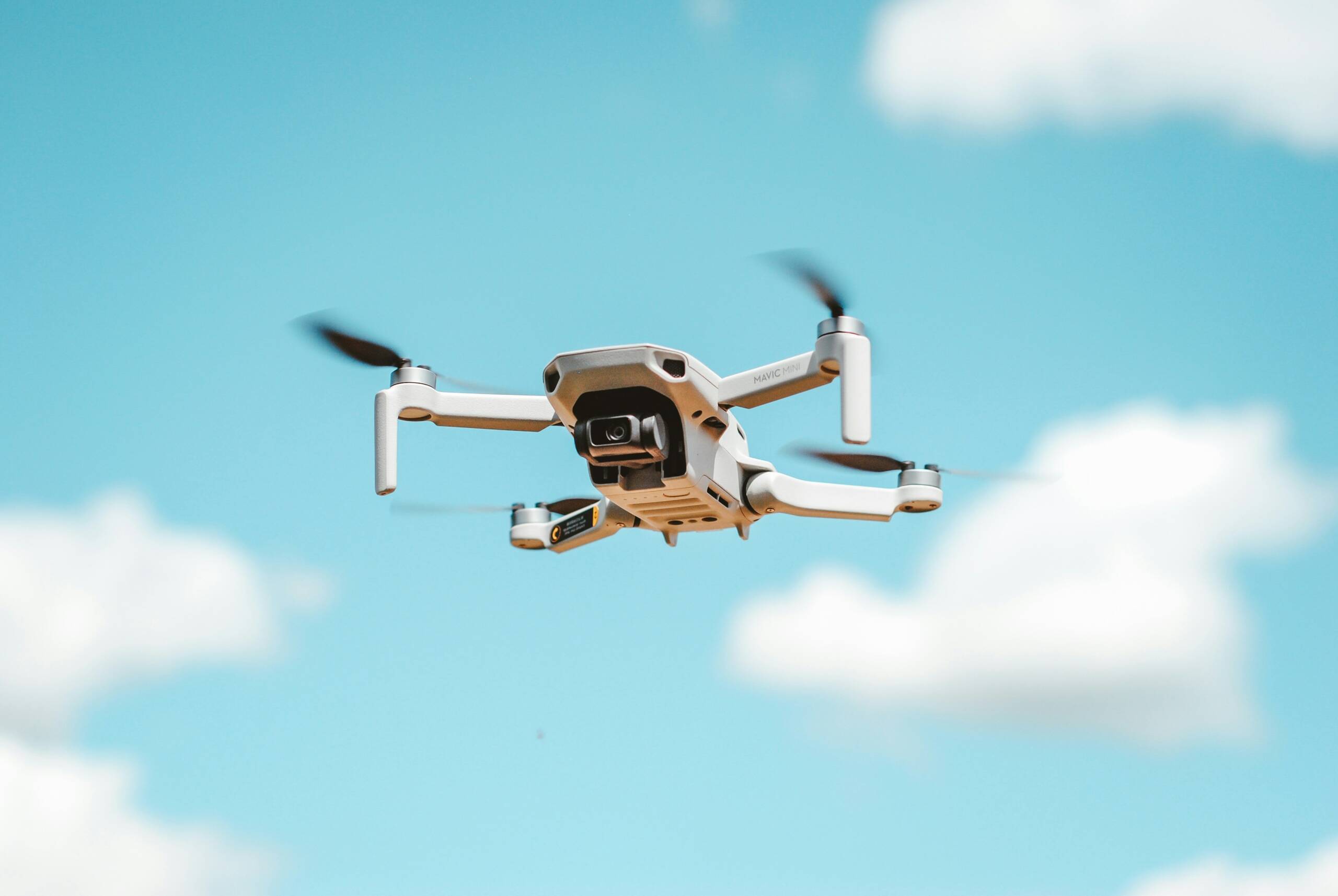
At Ekhoseni Surveyors, we provide state-of-the-art Lidar Survey Services to deliver precise and comprehensive spatial data for your projects. Utilizing advanced Lidar technology, we capture detailed 3D representations of terrain, structures, and vegetation, enabling accurate analysis and decision-making.
What is Lidar Surveying?
Lidar (Light Detection and Ranging) is a remote sensing method that uses laser pulses to measure distances to the Earth’s surface. This technology produces highly accurate topographic maps and 3D models, ideal for construction, engineering, environmental monitoring, and land development.
Our Lidar Survey Services Include:
- High-resolution topographic mapping
- 3D terrain modeling
- Vegetation and forestry analysis
- Infrastructure and building surveys
- Volume calculations for mining and stockpiles
- Flood risk and drainage assessment
Why Choose Ekhoseni Surveyors for Lidar Surveys?
- Expertise: Our team is highly trained in Lidar technology and data processing.
- Accuracy: We deliver precise survey data that meets industry standards.
- Efficient Turnaround: Fast data acquisition and processing to keep your projects on schedule.
- Comprehensive Reporting: Detailed maps, models, and reports tailored to your needs.
- Advanced Equipment: Use of cutting-edge Lidar sensors and software.
Contact Us
Ready to enhance your project with accurate Lidar data? Contact Ekhoseni Surveyors today to discuss your surveying needs and get a free quote.
Phone: +27 79 881 2525
Email: info@ekhosenisurveyors.co.za
Address: 3149 Camdeboo, Amberfield Ridge Estate Centurion, 0157, South Africa