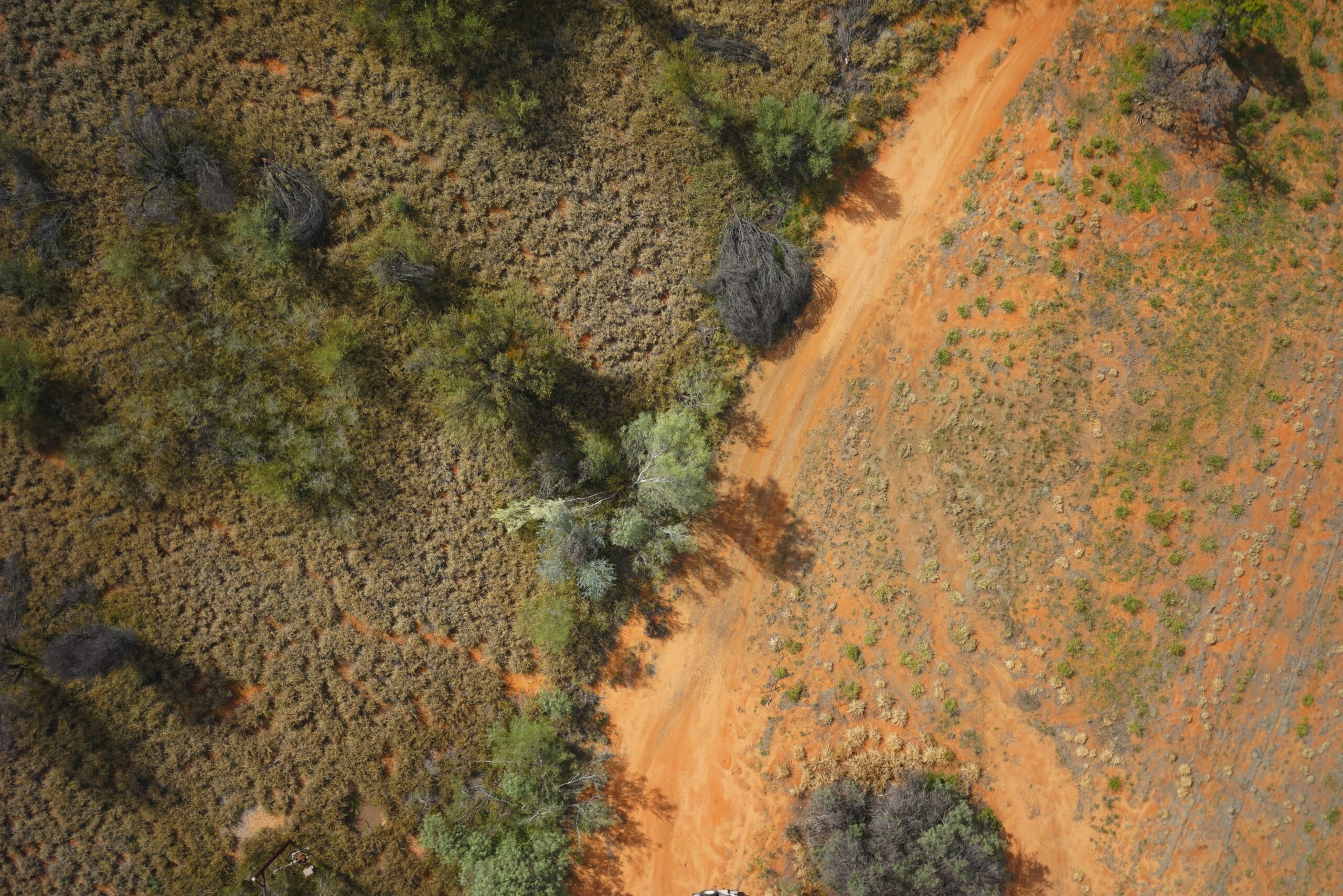
Our RTK (Real-Time Kinematic) GPS Survey services provide high-precision positioning solutions for a wide range of applications, including construction, land surveying, infrastructure development, and environmental monitoring. Utilizing advanced GPS technology combined with real-time data correction, we ensure centimeter-level accuracy for all your surveying needs.
Key Features:
- Centimeter-level accuracy with real-time data correction
- Rapid data collection and processing
- Reliable and efficient for large-scale projects
- Compatible with various GIS and CAD software
Applications:
- Topographic and boundary surveys
- Construction site layout and staking
- Infrastructure and utility mapping
- Environmental and agricultural monitoring
Why Choose Our RTK GPS Survey Services?
Our experienced surveyors utilize state-of-the-art RTK GPS equipment to deliver precise and timely results. We tailor our services to meet your project requirements, ensuring accuracy, efficiency, and compliance with industry standards.
Contact us today to learn more about how our RTK GPS Survey services can benefit your project.