Unmanned Aerial Vehicle (UAV) surveys, commonly known as drone surveys, have revolutionized the way data is collected in various industries. Utilizing advanced drone technology, these surveys provide accurate, efficient, and cost-effective solutions for mapping, inspection, and monitoring tasks.
What is a UAV Survey?
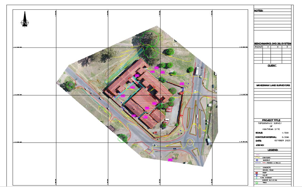
A UAV survey involves the use of drones equipped with cameras and sensors to capture high-resolution aerial imagery and data. This information is then processed to create detailed maps, 3D models, and analytical reports. UAV surveys are widely used in sectors such as construction, agriculture, mining, environmental monitoring, and infrastructure management.
Benefits of UAV Surveys
- Accuracy: Drones can capture precise data with centimeter-level accuracy, enabling detailed analysis and decision-making.
- Efficiency: UAV surveys cover large areas quickly, reducing the time required compared to traditional ground surveys.
- Cost-Effectiveness: By minimizing labor and equipment needs, drone surveys offer a more affordable surveying option.
- Safety: Drones can access hazardous or hard-to-reach areas without putting personnel at risk.
- Versatility: Equipped with various sensors, drones can perform thermal imaging, multispectral analysis, and more.
Applications of UAV Surveys
Drone surveys are utilized in a multitude of applications, including:
- Construction: Site planning, progress monitoring, and volumetric measurements.
- Agriculture: Crop health assessment, irrigation management, and yield estimation.
- Mining: Resource mapping, pit monitoring, and stockpile measurement.
- Environmental Monitoring: Wildlife tracking, vegetation studies, and pollution assessment.
- Infrastructure Inspection: Bridge, power line, and pipeline inspections.
How UAV Surveys Work
UAV surveys begin with flight planning, where the survey area is defined and the drone’s flight path is programmed. During the flight, the drone captures images and sensor data. After the survey, specialized software processes the collected data to generate maps, orthophotos, digital elevation models, and 3D reconstructions.
Conclusion
UAV surveys offer a modern, efficient, and reliable alternative to traditional surveying methods. With their ability to provide detailed and accurate data quickly and safely, drones are becoming an indispensable tool in numerous industries. Embracing UAV technology can enhance project outcomes, reduce costs, and improve safety standards.